Hard News by Russell Brown

60

Waterview: The giant up the road

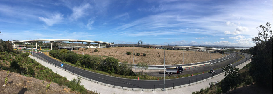
As these things always do, the Waterview Connection seemed a long way off when preparatory works began more than five years ago. Suddenly, the giant on the edge of our suburb – the largest roading project in New Zeaand history – will be open for traffic before the coming summer fades.

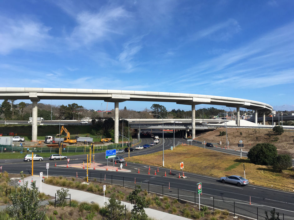
With that prospect comes a keener focus on things like induced demand, additional cost in maintaining and operating the motorway network and, as a recent Transportblog post noted, previously unannounced (and costly) proposals to mitigate for the new traffic flows. Just as the works at St Lukes Road have been more vexing for people on our side of the motorway than the big dig, I can see congestion – both ways – between the city and Waterview being an issue.

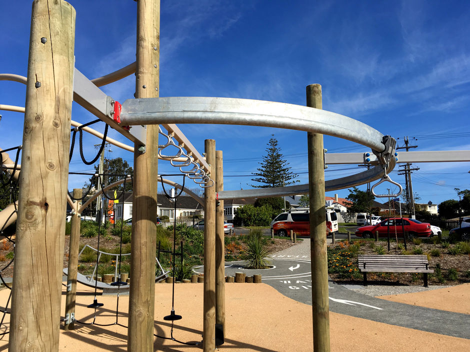
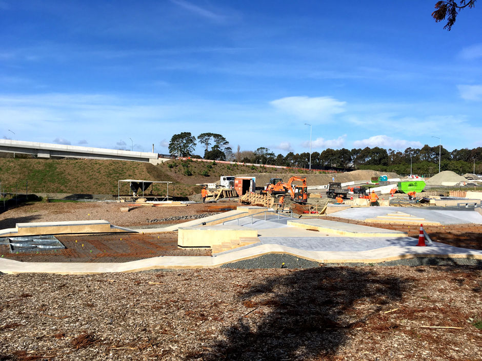
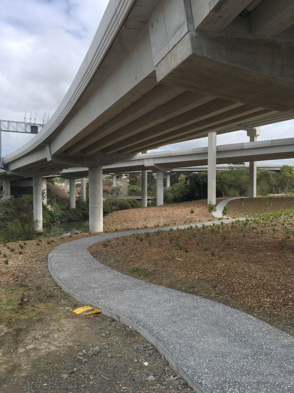
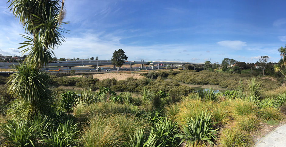
On the other hand, there are many interesting (and sometimes beneficial) changes around Waterview itself – some of them the doing of the Board of Inquiry that ruled on the respective interests of NZTA and local residents.

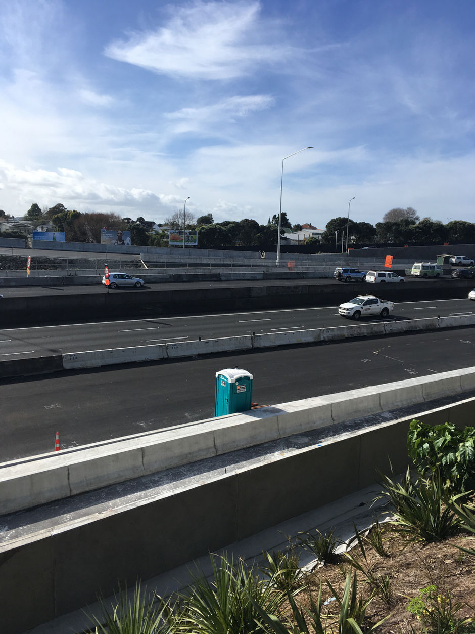
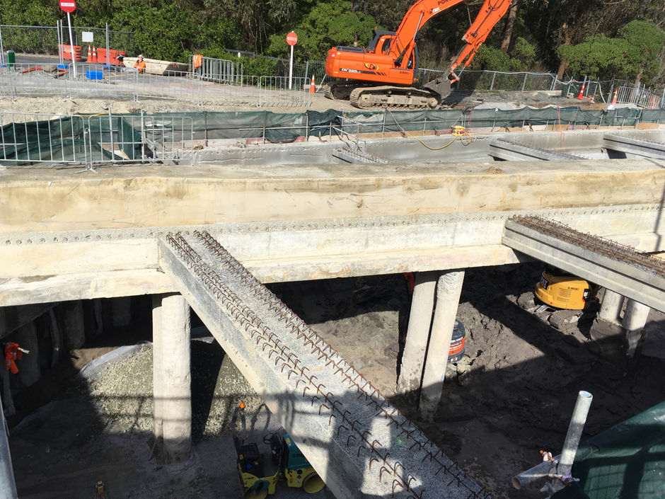
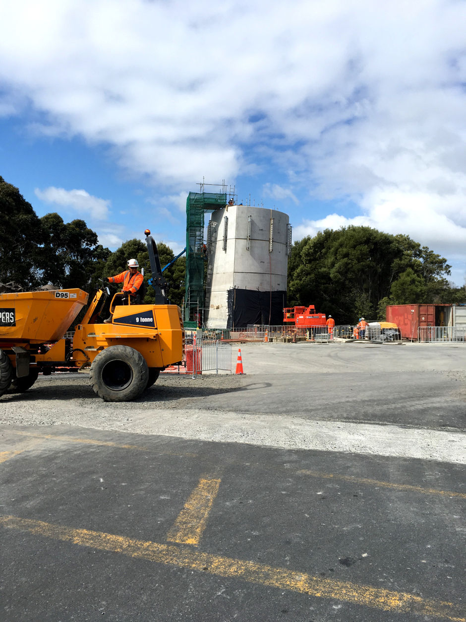
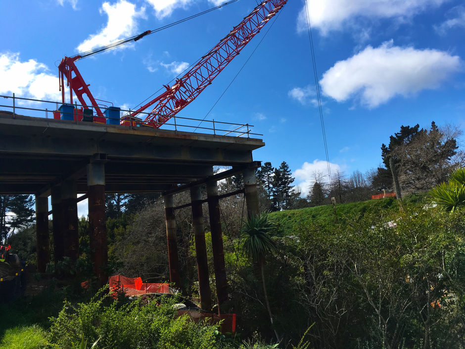
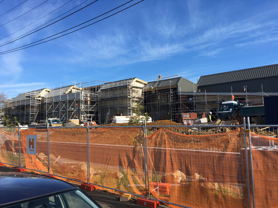
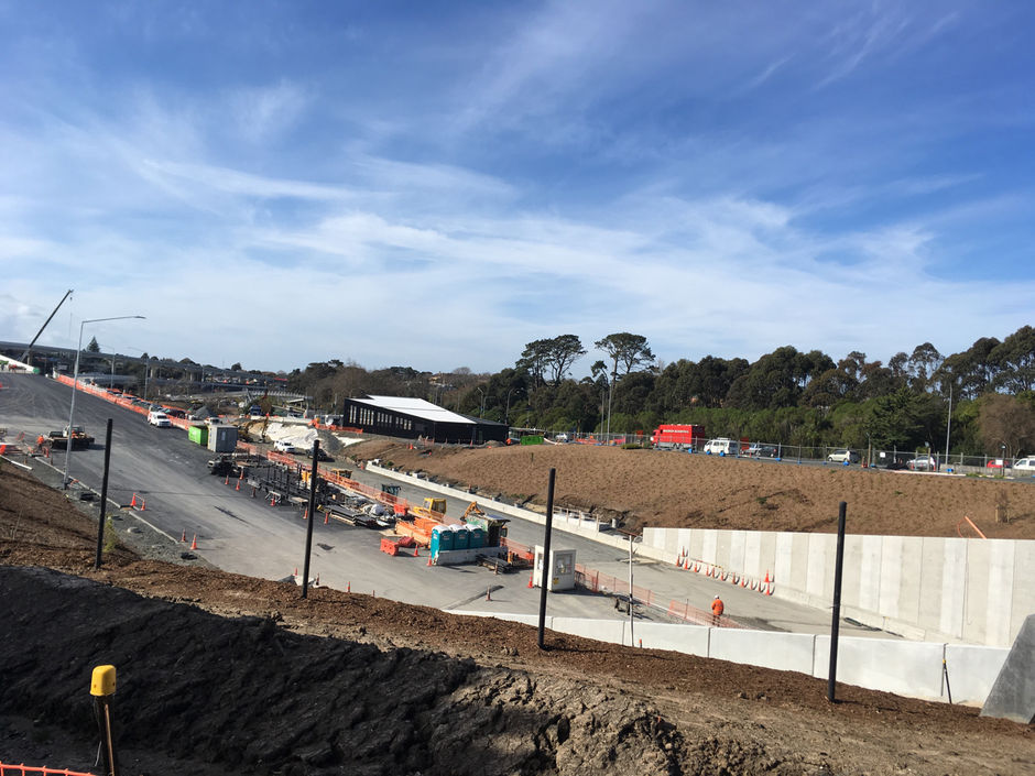
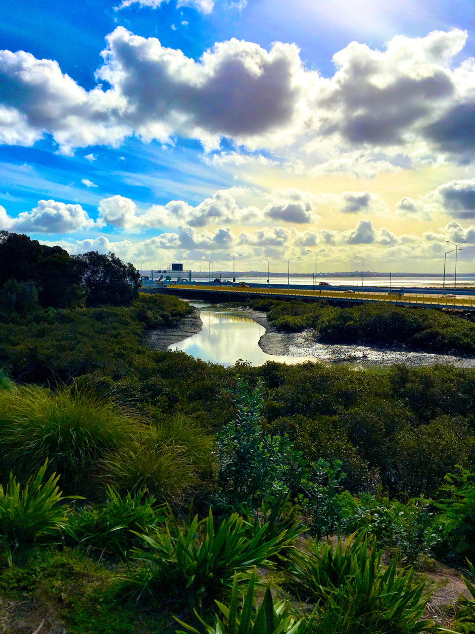
NZTA has just published its September update on the works and it contains relevant information, but the images are fairly crappy. I had a ride around the area last week and took photographs where I could. There were places where I couldn't – they've made it hard to get a picture of the northern portal – but I got enough to provide a picture of the area.

Please feel free to add your own links and images (you can upload images using the "choose file" button, and post as many as three in one comment by going back in using the edit function).

A panorama from Point Chevalier's southern slopes. The bright path below is the forthcoming Point Chevalier greenway, which extends around to Eric Armishaw Reserve via a boardwalk. It's kind of killing me not being able to ride on this. Photo: Russell Brown

The greenway will connect to Great North Road from the lights, although I'm not exactly clear on how it's going to work. Photo: Russell Brown

The current kink in Great North Road allows for excavation of the ventilation tunnel that connects to the trench by the northern portal. It connects to a ventilation tower that the original plans had on the other side of the project and much closer to Waterview School. Photo: Russell Brown

The ventilation tower. Yes, it is on a lean. That's a design feature. Photo: Russell Brown

This isn't new bridge over Oakley Creek itself, but the platform the bridge will be built from. They're looking to minimise disruption around the creek itself. Photo: Russell Brown

New high-density housing going in near the school, on land acquired for the project. Photo: Russell Brown

Overlooking the north portal. My main question here (and on the city bound onramp) is: "When there is an open-day before traffic starts, I will be able to ride my bike up and down these bad-boys, right? Right?" Photo: Russell Brown

The new playground is nice. Note the play-roundabout. Photo: Russell Brown

A new skatepark is under construction on the north side of the park. Photo: Russell Brown

A yet-to-open path under the ramps to the park in Waterview. I’m told residents insisted on steps to access the bridge in the distance, to slow cyclists down. Bah. Photo: Russell Brown

The view back to the ramps from the new Waterview greenway. The planting has really taken here. Photo: Russell Brown

Oakley Creek meanders towards the SH16 causeway. Photo: Russell Brown